


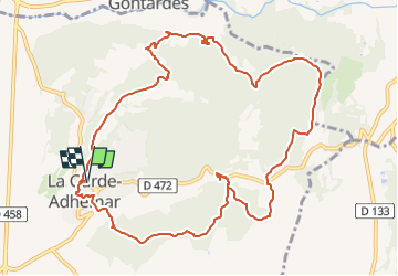


12,6 km | 16,6 km-effort

Benutzer GUIDE


Kostenlosegpshiking-Anwendung
 SityTrail
IGN / Geografische Institute
SityTrail World
Die Welt öffnet sich für Sie
Tour Wandern von 12,7 km verfügbar auf Auvergne-Rhone-Alpen, Drôme, La Garde-Adhémar. Diese Tour wird von thonyc vorgeschlagen.
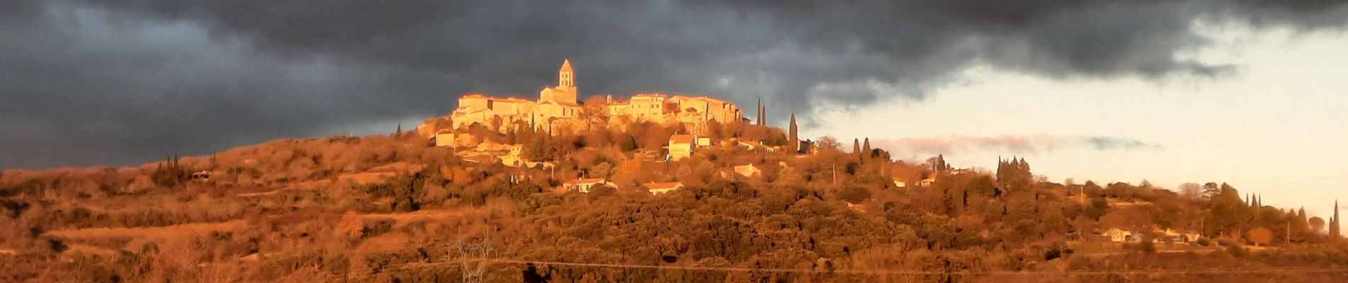
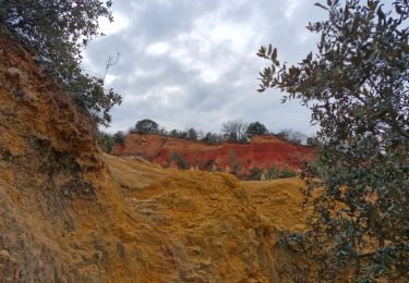
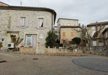
Le village et ses jardins suspendus, le val des nymphes, les cuves lapidaires, les ocres rouges.
Circuit très varié avec beaucoup de curiosités.


Wandern

Wandern

Wandern

Wandern

Wandern

Wandern

Wandern

Wandern
Wandern